The Kanawinka Geopark is a natural geological phenomenon that is located between Naracoorte Caves and the western edge of Victoria.
The Kanawinka Geopark covers an area of 27,000 square kilometres and is a great placed to visit during your stay in South Australia.
Kanawinka Geopark, Volcano Walking Tour & Locations, South Australia
One of the main features of the geopark is the geological fault line known as Kanawinka Fault Line. Volcanic activity occurred at this site occurred as recently as 5,000 years ago. There are 14 sites of national significance located here and the park once held UNESCO status, however, this was revoked in 2012.
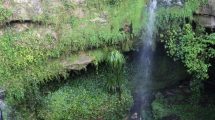
The main sites are broken down to the following sections: Craters and Limestone precinct (Mt. Gambier, Millicent, Penola, Tantanoola & Coonawarra), Plateaus and Falls precinct (Casterton, Coleraine, Hamilton), Coast and Caves precinct (Portland, Nelson, Heywood), Cones and Flows precinct (Hamilton, Penshurst, Port Fairy) and Lakes and Craters precinct (Colac, Camperdown, Skipton, Lake Bolac).
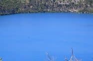
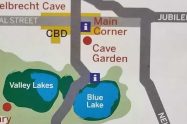
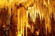
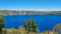
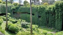
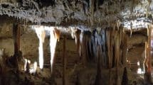
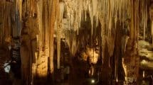
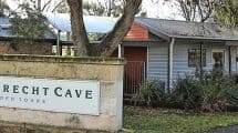
Some of the best ways to enjoy the geopark is to visit some of the following attractions: Mount Gambier’s famous Blue Lake; take a cave tour to the Tantanoola Cave, Princess Margaret Rose Caves and Engelbrecht Cave which all offer escorted tours with trained Rangers; make a stop at Mount Gambier diving sinkhole at Ewens Pond and Piccaninnie Pond; take a walk through the Byaduk Caves where you can see lava tubes and canals.
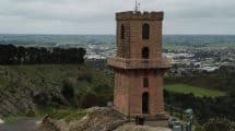
Make a stop at the Penshurst Volcanoes Discovery Centre which will give you plenty of information about the Kanawinka Geopark and the history of volcanoes in Australia.



















Do You Have a Question to Ask?